Lowrance Updates Software for HDS Displays
Outboard pilot control and new cartography options added to chartplotters
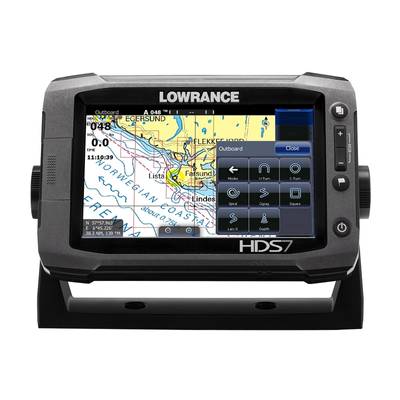
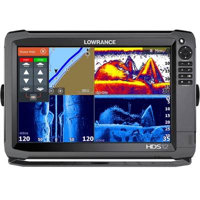
Lowrance released new software updates for its Lowrance High Definition System (HDS) Gen2 Touch and HDS Gen3 multifunction displays. The newest releases are version 4.5 for HDS Gen2 Touch and version 2.0 for the HDS Gen3. They provide users with features including Outboard Pilot control, C-MAP MAX-N+ 2015 compatibility and Power-Pole integration.
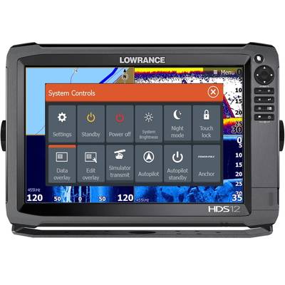
Bringing new functionality to HDS Gen3 users, the updated software leverages built-in Bluetooth wireless technology to allow for control of Power-Pole shallow-water anchors, as well as the all-electric MICRO Anchor products. These devices anchor fishing boats and kayaks with touchscreen control on the Lowrance HDS display – wirelessly engaging the anchor.
For both HDS Gen2 Touch and HDS Gen3 displays, the updates also enable control of the Lowrance Outboard Pilot via the Lowrance SmartSteer interface; support for Jeppesen C-MAP MAX-N+ 2015 cartography with the most current detailed marina charts; and custom contour shading, composition and vegetation layer shading for Insight Genesis Premium account users. Mercury VesselView and Mercury SmartCraft integration improvements for Smart Tow are also included in the updates.
The Lowrance Outboard Pilot is an HDS autopilot add-on system designed for boats up to 30 feet and contains everything needed to fit an autopilot to a hydraulic- or cable-steer single outboard motor. The SmartSteer interface provides intuitive control and can steer on a set heading, to a waypoint or along a route.
C-MAP MAX-N+ 2015 cartography can now be used on HDS Gen2 Touch and Gen3 displays, offering enhanced situational awareness, with a variety of presentation options, for a custom look and feel. Charts can be displayed in different imagery styles, including:
Shaded Relief – a three-dimensional view that brings seabed terrain to life
No Contours – removes contour lines from the chart to minimize clutter
Raster – gives the chart the look of a traditional paper chart
High Resolution Bathymetric – provides a higher concentration of contour lines for greater depth detail
A new Photo Overlay feature allows users to view satellite photo images of selected areas as an overlay on the chart. Users can view the overlays in either 2D or 3D modes. These photos provide a bird’s eye view of marinas, harbors and channel entrances. Additional sport fishing overlays include: color fish ID photos, localized sport fishing rules/regulations and state angling records.
“We are constantly looking for ways our customers can get more out of our already feature-packed systems,” said Leif Ottosson, CEO and president, Navico. “With this new update and the addition of features like Outboard Pilot and C-MAP MAX-N+ 2015 cartography, the already robust capabilities of the HDS Gen2 Touch and HDS Gen3 are enhanced to make it even easier for anglers to get out on the water.”


